
Walk a Paragould Street
A sound Paragould street directory search moves from the place to the record, not from a name to a guess. Begin with one exact street address. The Greene County Assessor can tie that situs, or taxed location, to a parcel and assessed owner. The county map then lets a reader move along the same road one parcel at a time. Later sources add proof, but none should be stretched past its scope. Ownership is not the same as occupancy.
The most useful chain keeps each identifier as it appears. Save the situs, parcel number, owner mailing address, and legal description before opening another system. That small record set prevents two similar road names or rural routes from being merged.
- Search the exact address in the Greene County property or tax record. If it fails, remove the ZIP and try the recorded street suffix.
- Open the free real-estate map from the Assessor and click the matching parcel. Move to each adjoining parcel to build the street sequence.
- Compare the owner mailing address with the situs. A match supports, but does not prove, owner occupancy.
- Use the legal description and current owner in the Circuit Clerk's land-record route. Follow grantor and grantee names through deeds.
- For public voter analysis, use a lawfully requested file. VoterView is for identity-based self-verification, not street browsing.
- Use verified historical directory years only when the question shifts to past adults at an address.
Search Paragould Parcel Fields
The Greene County tax search accepts more than a street name. Its live database offers a tax year, property type, owner or taxpayer name, parcel number, and address. Years can change with the live system, so no fixed start year should be assumed. Address text may also find similar road names. Confirm the parcel rather than treating the first result as final.
| Search control | Input | Required | Street-directory use |
|---|---|---|---|
| Tax Year | Dropdown | Defaulted | Select the live year offered |
| Type | Selector | No | Choose real estate when offered |
| Name | Text | No | Test owner surname variants |
| Parcel Number | Text | No | Retrieve an exact parcel |
| Address | Text | No | Search the situs without assuming a ZIP |
| Search / Reset | Buttons | Not applicable | Run or clear the query |
The captured Greene County tax-search screen shows the official entry point used for this part of a Paragould street directory search.
The screen is a discovery tool. A tax result may show owner, account, situs, mailing address, values, and payment data, but it does not list all people who live there.
Map Paragould Streets by Parcel
The free real-estate map linked by the Greene County Assessor supports the visual half of a by-street search. Search or autocomplete can locate a situs. Parcel or account ID can retrieve a known lot. Zoom, layer, legend, and identify controls then help trace the road and click each parcel polygon. The exact layer list is dynamic, so roads, boundaries, zoning, flood, and district layers should be described only when they appear in the current viewer.
There is no verified radius or block export. Manual clicking is the supported method. Capture each parcel number before moving to the next one, especially where a road bends, changes suffix, or crosses the city line. Map shape can orient the search, yet the recorded deed and plat remain the legal sources.
- Parcel
- A mapped unit of land tied to a county assessment identifier.
- Situs address
- The physical location of the taxed property, which may differ from the owner's mailing address.
- Plat
- A recorded map that lays out a subdivision, streets, lots, and blocks.
- Criss-cross directory
- A directory arranged by street or address instead of only by a person's name.
Note: Copy a parcel identifier exactly because Greene County does not publish a key for decoding its number format.
Paragould Records by Address
No single roll forms a complete Paragould street directory. The assessor and collector describe taxable property. The recorder describes recorded instruments. City files document work at an address, while historical maps describe buildings. Voter records cover registered voters under legal access limits, not every adult or child. The value comes from comparing the same address across the right custodians.
| Address source | Record keeper | What it contributes | Access route |
|---|---|---|---|
| Parcel card | Greene County Assessor | Current owner, situs, mailing address, legal description | Free map or office, 870-239-6303 |
| Tax account | Greene County Collector | Taxpayer, parcel, year, value, and payment status | Arkansas Tax Search, phone, or counter |
| Deed, mortgage, lien | Circuit Clerk/Recorder | Parties, legal description, and recording data | TitleSearcher link or office; online cutoff unknown |
| Plat | Recorder or Planning | Subdivision, lot, block, and laid-out streets | Recorded books or map files |
| Permit or code file | City of Paragould | Applicant, contractor, work, and file date | FOIA request by exact address |
| Sanborn map | Library of Congress or library | Historic footprint, use, street, and number | Digitized maps and local holdings |
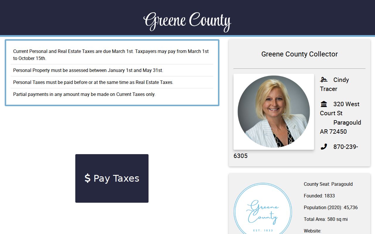
The Greene County Collector page connects street researchers to tax search and the office fallback.
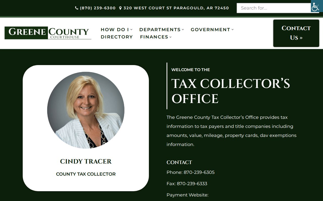
Its tax account is one link in the address chain, not a statement about a person's character or every resident at the parcel.
Paragould Situs Versus Mailing Address
One of the easiest street-directory errors is to treat the owner's mailing address as the property address. The situs identifies the taxed land or building. The mailing address is where the owner wants tax notices sent. Matching values support the idea that an owner may occupy the parcel. Different values may point to an absentee owner, trust, estate, company, or merely another chosen mailing point. Neither pattern proves who sleeps at the address.
A parcel roll also omits renters, children, and many other household members. Even a homestead-related field is only a clue subject to eligibility and timing. Keep the conclusion narrow: the assessment links a named owner or entity to taxable property as of that roll.
Key distinction. Paragould owner history and Paragould occupant history overlap at times, but they are not interchangeable record sets.
Follow Paragould Deeds by Street
A modern address becomes a deed search only after it is translated to a legal description. Copy the subdivision, lot, block, or metes-and-bounds wording from the parcel record. Search the current assessed owner as a grantee near the likely purchase period. A grantee receives an interest; a grantor gives or transfers it. Once the right deed is found, save its instrument number, recording date, parties, and legal description.
To move back one owner, search the seller from that deed as a grantee in an earlier period and match the same land. Mortgages and releases may bracket time but do not, by themselves, convey ownership. If the online route ends, the recorder's books and public-desk help matter because Greene County does not publish the TitleSearcher cutoff or image fee.
The Greene County Circuit Clerk page is the county's land-record entry and copy contact.
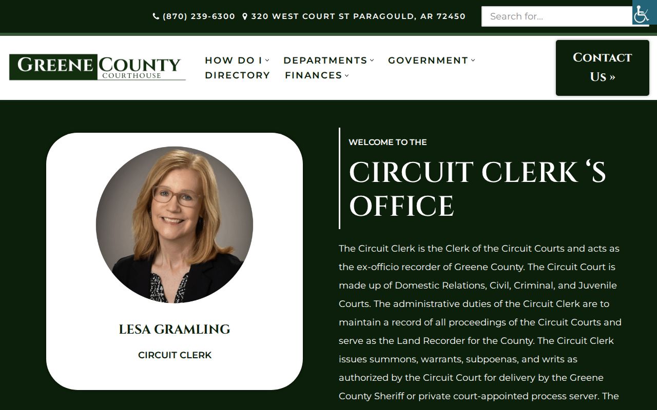
The captured office page also reflects why a blank online result is not proof that no Paragould deed exists. Older book and page records remain clerk-controlled.
Paragould Street Records Offline
The Greene County Courthouse at 320 West Court Street is the fallback when a street directory portal returns nothing. General county hours are Monday through Friday, 8:00 a.m. to 4:30 p.m., but the Circuit Clerk's land-recording counter closes at 4:00 p.m. Call 870-239-6330 before a deed-book visit. Give the clerk a party name, approximate recording date, legal description, document number, or book and page whenever possible.
Real-property copies route to the Assessor at 870-239-6303. Tax account questions go to the Collector at 870-239-6305. For a city permit or code file, request the exact address from Paragould under the Arkansas Freedom of Information Act. No verified public permit portal or coverage start was found, so the request channel should lead instead of an invented online search.
Note: The land-record counter's earlier closing time can affect an afternoon research visit even while other clerk services remain open.
Historic Paragould Street Directory Clues
Past address work needs a different shelf. Verified Paragould directory anchors include 1908, 1916 or 1917, 1920, 1939, and 1948, but they are separate years rather than an unbroken run. A street or reverse section, when present in a volume, can place named adults and businesses along one road. The full holdings and entry codes belong with the Paragould city directory collections; a street search should only borrow the address view.
Sanborn fire-insurance maps add another layer. Eight cited Paragould editions span 1892 through 1930. They show street names, numbers, footprints, building use, and outbuildings, not a household roster. Sheet indexes and cross streets are vital because the same street can shift sheets as the mapped city grows. The 1909 set has thirteen sheets.
No authoritative citywide renumbering chronology was located. When an old number vanishes, compare the map footprint and cross streets, then bridge eras with the legal description. Do not invent a renumbering date.
Paragould Street Directory Geography
Paragould has two verified postal codes with very different roles. The broad 72450 delivery area includes the city and rural Greene County addresses outside the incorporated line. The 72451 code serves post office boxes and has no street-delivery geography. Thus, “Paragould” in a mailing line does not prove that a parcel lies within city limits.
The USPS ZIP Code Lookup is the right source for checking a deliverable address and ZIP+4.
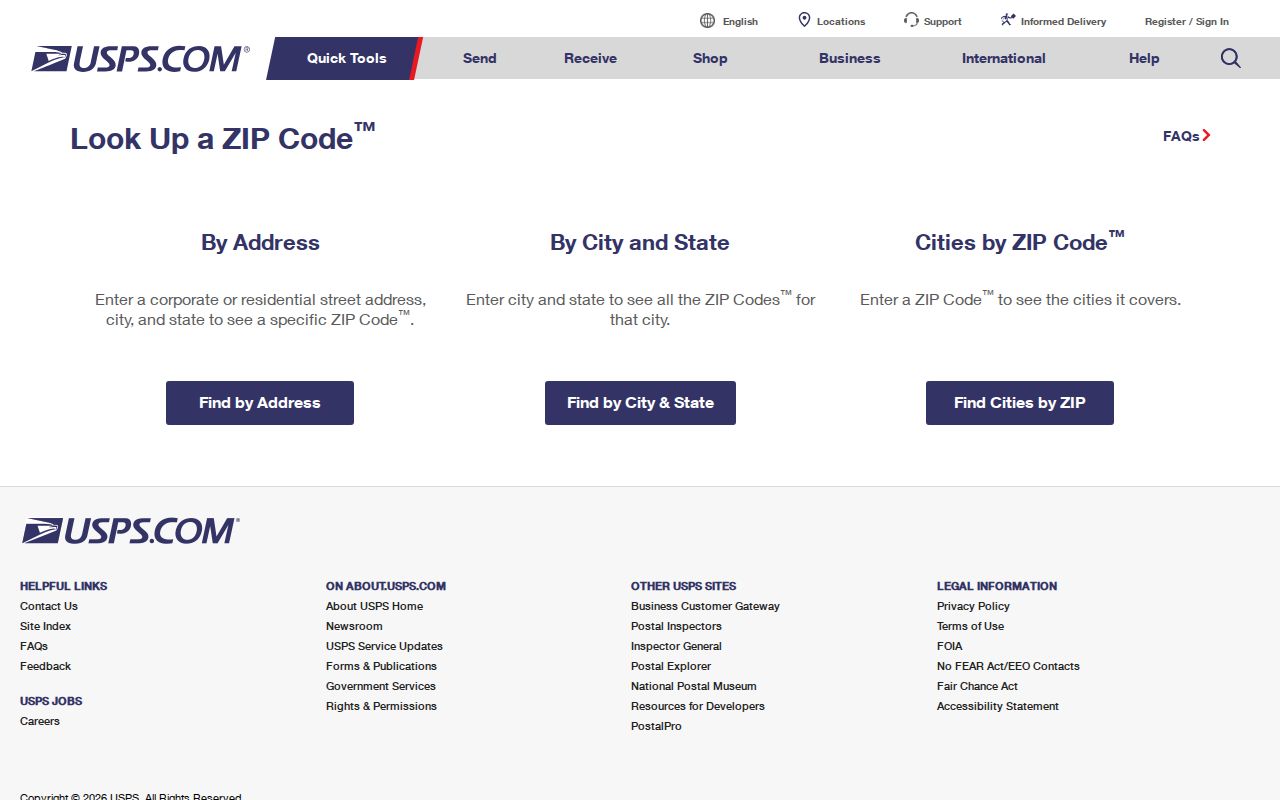
After postal verification, return to the Greene County parcel map for city and county geography. ZIP+4 is a delivery segment, not a parcel number or proof of municipal location.
Limits of Paragould Street Records
A responsible Paragould street directory reports what each public source actually records. The parcel roll names assessed owners, not all occupants. A deed proves a recorded property interest, not a move-in date. Permit files name applicants or contractors, not every person at the site. Public voter data excludes protected fields and people who are unregistered or ineligible, and it can lag a move.
VoterView cannot browse a street. Utility and delivery accounts are not established as public household lists, and motor-vehicle addresses are restricted under federal law. Protected participants in Arkansas's Address Confidentiality Program must stay shielded. A blank result may also reflect a spelling variant, portal cutoff, suppressed record, or unindexed book.
The Arkansas VoterView service requires a first name, last name, date of birth, and county to verify one person's registration and polling information. It is not the route for walking a Paragould road. Arkansas law instead permits a written request for a public voter-registration, vote-history, or combined data file, with restricted identifiers and protected addresses removed. Vote history means participation, never ballot choice. A lawful file can be filtered by a normalized public residence field, but registration can lag a move and does not include all adults. County election questions route to the Greene County Clerk at 870-239-6311.
Lawful use. Use Paragould address records for family history, property research, civic review, or personal safety. Never use them to stalk, harass, threaten, or expose a protected person.