
Paragould Block Directory
The most reliable block search joins several public sources without pretending any one is a household roster. Greene County’s free real-estate map supplies the parcel layout. The Assessor supplies the assessed owner, situs, mailing address, parcel number, and legal description when populated. Deeds and plats explain ownership and subdivision lines. A lawful voter file can add registered voters using public residence fields, but VoterView cannot browse nearby addresses.
| Source | What It Shows About a Block | Access |
|---|---|---|
| GIS parcel map | Boundaries, neighboring parcel IDs, situs locations | Free map linked by Assessor |
| Assessor roll | Assessed owner plus mailing and situs fields | Public record and office |
| Recorder records | Deeds, liens, and plats for a legal parcel | TitleSearcher or Circuit Clerk |
| Public voter file | Public registration fields by residence | Written request; restrictions apply |
| Historic directories | Adult residents or firms by street in supported volumes | Library, GCHGS, or digital volume |
| Permit and code files | Work, applicant, owner, or contractor by address | Focused city records request |
Ownership is not occupancy. A trust, estate, company, or absentee owner may hold a nearby lot. Renters and household members are not enumerated on the parcel card. That gap should remain visible in any description of Paragould neighbors.
Map Paragould Neighbor Parcels
Start at the Greene County Assessor page, which links the free real-estate map. Search the exact situs address and choose the suggested match. Zoom until parcel boundaries are clear. The official material does not establish a radius or buffer export, so a sound block review is manual. Touching lots and parcels across the street must each be clicked and checked.
- Locate the target address and copy its parcel number, situs, and legal description from the result panel.
- Click each parcel sharing a boundary. Return to the same map extent after recording the public owner and parcel ID.
- Review across-street parcels separately. A map view alone may not make frontage or access clear.
- Compare mailing and situs addresses, but label any occupancy conclusion as unproved unless another independent record supports it.
- Use each lot or block legal description in the deed and plat records when the boundary or ownership chain matters.
The process is address to parcel, parcel to nearby IDs, nearby IDs to owner records, and then legal descriptions to deeds or plats. For the record chain along an entire named road, the Paragould street directory carries the broader street method.
Test Paragould Neighbor Owners
The Assessor’s owner field names the assessed owner, not every person present at the address. Situs means the taxed land or building. Mailing address means the place selected for tax correspondence. When the two match, they support a possible owner-occupant link. When they differ, the owner may live elsewhere, but neither pattern proves who occupies the parcel on a given day.
- Parcel
- A tract of land tracked by the county under a parcel or account number.
- Situs address
- The physical location used for the assessed property.
- Legal description
- The lot, block, subdivision, or metes-and-bounds wording that identifies land in recorded documents.
- Plat
- A recorded drawing that lays out lots, blocks, streets, and easements in a subdivision.
Owner is not occupant. Nearby owner names can describe the land around an address, but they cannot establish a complete list of Paragould neighbors.
Note: Copy parcel numbers exactly because Greene County does not publish a decoding key for the county system’s identifier format.
Paragould Neighbors Voter Records
Ark. Code Ann. § 7-5-109 allows public dissemination of voter-registration information, subject to current law and removed protected fields. The Secretary of State’s written data form offers voter registration, vote history, or a combined file. Vote history means participation in an election, never a person’s ballot choices. Public fields may include name, residence or mailing information, status, registration date, precinct, district, and participation fields under the current data dictionary.
VoterView is not the block tool. It asks a voter for first name, last name, date of birth, and county to verify that person’s registration and polling details. Block analysis instead requires a lawful public-file request, then careful filtering of normalized Paragould address fields. Protected participants and restricted identifiers remain absent. Nonregistered adults are also absent, and a record can lag a move.
The Arkansas voter information hub links the proper self-check and registration channels. The Greene County Clerk at 320 West Court administers local elections and can answer county-file questions at 870-239-6311.
For older block evidence, ask the County Clerk, Arkansas State Archives, and GCHGS about surviving poll books or registers. The official local series years were not verified, so request a catalog check before planning a visit.
Paragould Community Directory Gap
No official umbrella list of Paragould neighborhood associations, HOA member directories, or block-watch rosters was found. That absence matters. It prevents a claim that private membership can fill the gaps in public parcel records. HOA lists, congregation rosters, and civic-club rolls are private unless the group chooses to publish them. A chamber directory lists voluntary business contacts, not nearby residents.
City Geography
City wards, zoning, subdivisions, and public meeting records can describe civic context without exposing a private member list.
Greene County Library
Ask about verified street sections, older telephone books, newspapers, and local-history sources before relying on a claimed directory.
GCHGS
Historical publications and indexes can add past community context while keeping modern private rosters out of the search.
The gap is not a reason to infer names. Safer community context comes from formal map layers, public council material, recorded plats, and any roster a group affirmatively publishes for public use. Always honor the limits stated by the organization.
Compare Paragould Neighbor Sources
Official rolls and commercial neighbor tools differ in purpose and proof. Compiled tools may combine licensed, public, and inferred data, which can merge addresses or miss renters. The county parcel record is narrower but traceable to a custodian. Neither one is a complete census of the block.
| Source Type | Strength | Limit |
|---|---|---|
| County parcel and assessment | Official owner and land identifiers | Does not list every occupant |
| Recorder instrument | Filed parties and legal description | A transaction is not current household proof |
| Lawful voter file | Public registration fields under statute | Protected and nonregistered people are absent |
| Commercial compilation | May gather many clues quickly | Can be stale, inferred, or wrongly merged |
Use a parcel number, instrument number, or case number to return to an official source. If a claimed neighbor cannot be tied to a reliable public record, do not publish the link as fact.
Get Paragould Neighbor Records
The Greene County copy guide routes each record to its custodian. Land and non-juvenile court copies go to the Circuit Clerk at 870-239-6330. Real-property copies go to the Assessor at 870-239-6303. The courthouse counter, phone contact, a focused mail request, and an Arkansas Freedom of Information Act request are the fallback chain when the map or web index does not supply the needed document.
Review the official Greene County copy routes before asking for a deed, plat, parcel record, or court file.
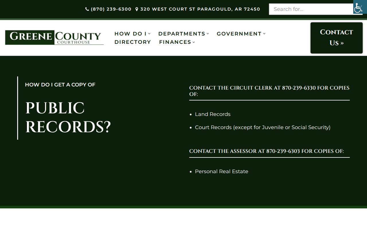
The county capture reinforces that nearby parcel research continues through the office holding each source, not through a single neighbor database.
Provide the exact address, parcel or instrument number, date range, and document type. Ask about copy, certification, and archived retrieval charges. Older grantor and grantee books may require desk help because the county does not publish a dependable online cutoff for land records.
Check Paragould Neighbor Court Results
Courts are not block directories. The Arkansas Judiciary supplies court structure, forms, opinions, and access points, while CourtConnect supplies participating public case indexes. A party’s appearance in a docket does not establish that the person lives next to the searched address. It can be used only when an independent, reliable identifier connects the record.
Open the official Arkansas Judiciary source for court information and statewide access channels.
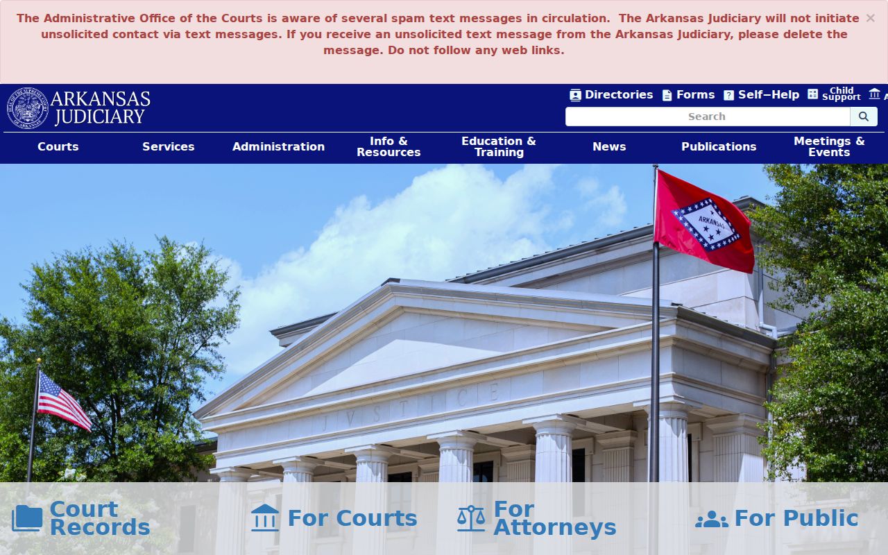
The judiciary capture marks a separate record system, useful for a known case but not for building a list of Paragould neighbors.
Check Paragould Neighbor Federal Records
Federal cases are separate again. PACER requires an account and applies its current fee rules. Search the Eastern District of Arkansas only when a known federal matter is relevant, then verify the case number, court, party role, and filing date.
Consult the official PACER access page for the live federal system and current terms.
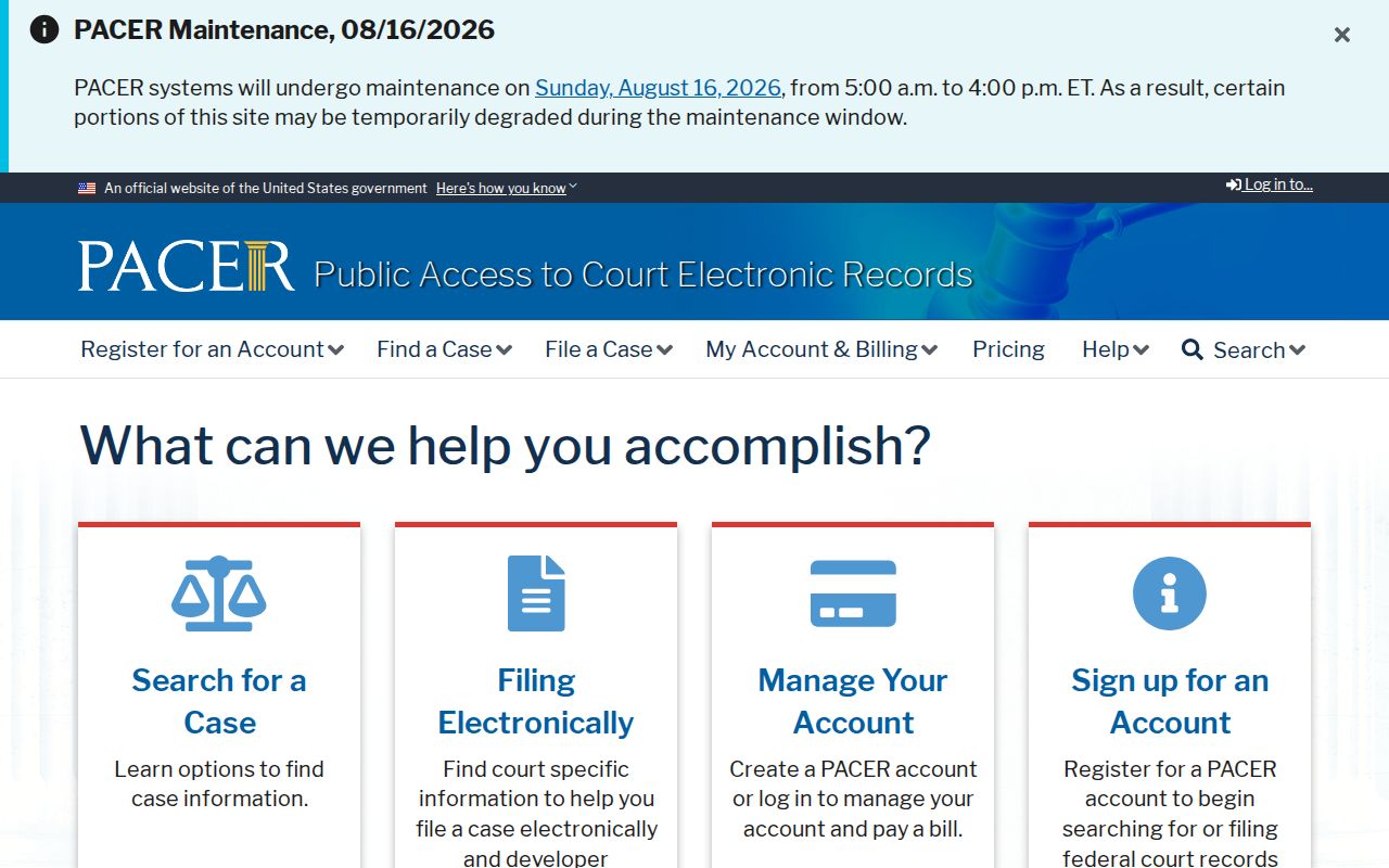
The PACER image shows why a federal docket must stay distinct from the parcel-based method used to study a Paragould block.
Separate Custody From Residents
The federal inmate locator is also not evidence of who occupies a nearby home. It answers a custody-location question from Bureau of Prisons records. Even when a name resembles a parcel owner or voter-file entry, the result needs a stable identifier before it can be connected to the same person. Common names must never be merged.
Use the Bureau of Prisons inmate locator only for its stated federal custody purpose.
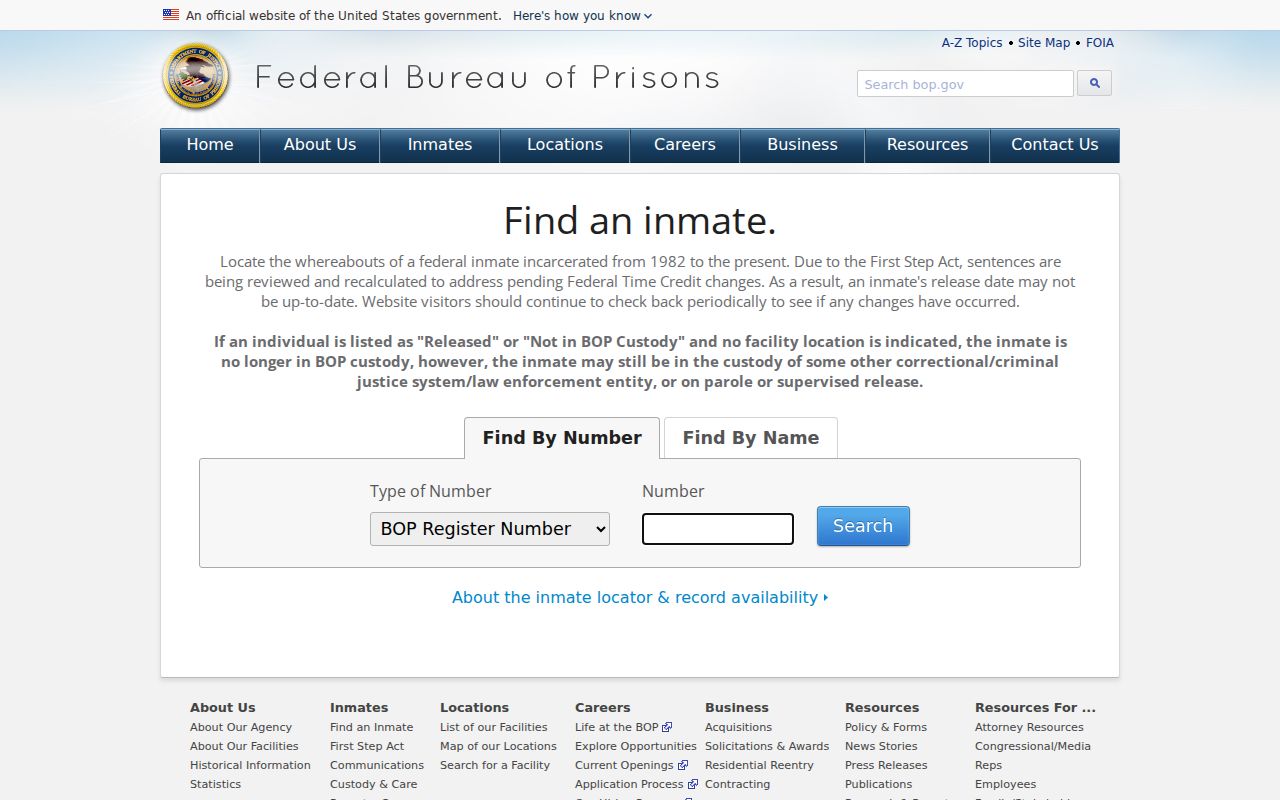
The source capture illustrates a narrow federal index that cannot replace Greene County parcel, assessor, voter, or community records.
This distinction protects accuracy. Parcel ownership, court participation, custody status, and present occupancy are four different facts. A Paragould neighbors search should state only the fact supported by the source in hand.
Read Past Paragould Households
Historic blocks require a different layer. Verified Paragould directories exist for selected years, not an uninterrupted run. A volume with a street or reverse section may place adults and firms at nearby addresses. Greene County Library and the Greene County Historical & Genealogical Society are the best local access points. Publication gaps and omissions mean that absence from one volume is not proof of absence from the block.
Recorded plats help explain lot and block layout. Sanborn fire-insurance maps add street names, numbers, building footprints, uses, and outbuildings for verified editions from 1892 through 1930. They do not name households. Confirm that an old street number matches the present parcel before joining a directory entry to the current block.
Historical neighbor names may also appear in census schedules open through 1950. A directory names selected adults at a publication snapshot, while a census can describe a household. Use both, but preserve the difference in date and purpose.
Protect Private Paragould Records
Utility accounts, delivery data, children, renters, and private membership lists are not established public household rolls. DMV addresses are restricted under the federal Driver’s Privacy Protection Act. Voter files omit restricted identifiers and protected participants. The Arkansas Address Confidentiality Program gives qualifying survivors a substitute mailing address so a protected physical location does not spread through ordinary public systems.
Corrections belong with the custodian. Contact the Assessor about parcel ownership or mailing fields, the recorder about an instrument, and election officials about registration. A blank result can mean a gap, delay, protected record, or wrong search term. It should not invite a guess about who lives nearby.
Lawful use. Learn about a Paragould block for civic context, personal safety, or friendly contact. Never watch, harass, threaten, expose, or intimidate your neighbors.