
Paragould ZIP Directory Coverage
Two verified postal codes use Paragould as the mailing city, but they serve different roles. USPS is the authority for a deliverable address and its ZIP+4. It does not define the incorporated boundary. The Paragould ZIP code directory therefore begins with function, not a shaded third-party map.
| Postal code | Area or use | Delivery office type | Key limit |
|---|---|---|---|
| 72450 | Paragould urban area plus broad Greene County and rural approaches | Street delivery with city and rural carrier routes | Extends beyond incorporated Paragould |
| 72451 | Paragould post office boxes | PO-box-only service | Has no street-delivery neighborhood |
The broad 72450 route includes the old core, later growth west, north, and south, and addresses on rural approaches. By contrast, 72451 points to a box at the Paragould post office. It cannot show where a boxholder sleeps, owns land, votes, or receives street service.
Note: No official dated Paragould ZIP split, realignment, or ZIP-level city population table was found in the reviewed sources.
Verify a Paragould ZIP Code
The USPS ZIP Code Lookup offers two useful routes. Lookup by Address takes the street, city, and state and returns the postal answer for one property. Lookup by City and State returns the codes associated with Paragould. Address mode is stronger when a single house or firm is at issue.
| USPS field | Input type | Use in Paragould |
|---|---|---|
| Street address | Text | Tests the exact delivery point |
| City | Text | Enter the postal city form, not a boundary claim |
| State | Selection or text | Use Arkansas |
| City and state mode | Two place fields | Returns postal codes tied to Paragould |
A normalized USPS result should be saved before searching another roll. Keep apartment, unit, route, and box data intact. Dropping those parts can create a false address match.
72450 Beyond Paragould Limits
A 72450 mailing address may lie outside incorporated Paragould. That is the main geography finding for this postal directory. Postal routes are made to deliver mail, while the city boundary controls municipal jurisdiction. Greene County custody adds a third layer because Paragould is the county seat and many owner, deed, and court records are county records.
Use the Greene County Assessor’s free real-estate map to test the parcel and any municipal-limit layer that is available. The interface is dynamic, so the county does not promise a fixed layer list. If the boundary is unclear, ask Paragould Planning for sites inside the city and Greene County or E911 staff for county territory. Do not substitute a school zone, utility district, or postal route for city limits.
Find Paragould Residents by ZIP
Local portals do not offer one clean public browse of every person in 72450. The tax interface may take address text, but no official ZIP filter was verified. VoterView is an identity-gated self-check, not a street or ZIP directory. A lawful bulk voter file can be filtered after receipt, subject to the current form and all protected-field rules.
- Confirm the full delivery address and postal code with USPS. Do not infer city limits from the mailing city.
- Open the Greene County GIS or assessor record. Match the situs, which means the taxed property address, and save the parcel number and legal description.
- Use the owner or another known name in the relevant official index. A tax-roll owner may be an estate, firm, trust, or person who lives elsewhere.
- For voter research, use VoterView only for a person’s own registration check. Request public bulk data through the state process when a lawful ZIP-level study needs it.
- When the ZIP narrows the result to a named road, continue with the Paragould street directory workflow instead of rebuilding the address chain.
The useful flow is short: USPS address → GIS city check → assessor parcel → named-person record. Each arrow changes the question. A postal match, a parcel owner, and a registered voter are not interchangeable kinds of evidence.
Paragould ZIP Voter Channels
The Arkansas Secretary of State voter information page routes individuals to VoterView and publishes election resources. Its design matters to ZIP research because an ordinary user cannot open 72450 and browse household names.
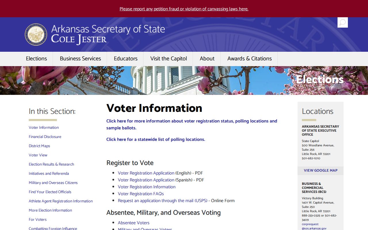
VoterView requires a first name, last name, date of birth, and county to return a personal match. A match may show status, precinct, polling site, district, and election information. A no-match may reflect a name form, move, processing delay, or status change. It does not prove the person is absent from Paragould.
Ark. Code Ann. § 7-5-109 allows public dissemination of voter-registration information through the state’s bulk-data route. The request form offers registration, vote-history, or combined files and gathers requester contact data, scope, format, and certification. Vote history means election participation, never ballot choices. Social Security data, driver or state ID values, sensitive birth details, and protected-program data are excluded.
Note: Filter public residence fields only after lawful receipt, and never publish a household roster or defeat an address-confidentiality safeguard.
Read Paragould Postal Terms
Postal and land systems use different identifiers. Keeping them distinct prevents a 72451 box from being mapped as a block or a ZIP+4 from being mistaken for county land data.
- ZIP code
- A USPS delivery code tied to routes and postal operations, not a municipal boundary.
- ZIP+4
- An added four digits that narrow a delivery segment. It is not a Greene County parcel number.
- PO-box ZIP
- A code used for post office boxes, such as 72451, with no street-delivery shape.
- Unique ZIP
- A code assigned to one high-volume institution. No such Paragould code was verified.
- Carrier route
- A group of addresses served on one delivery path, which may cross other local lines.
The county parcel number is generated by the county system, and no official decoding key was published. Copy it exactly. A legal description, such as subdivision lot and block or metes and bounds, can remain useful even after the postal address changes.
Paragould ZIP and Parcel Fields
The Assessor separates the situs from the owner’s mailing address. Situs means the taxed land or building. The mailing field is where the owner asks to receive tax mail. If both fields show the same Paragould address, that supports owner occupancy but does not prove it. If they differ, the land may be owned by an absentee person, estate, trust, or firm, or the owner may simply prefer another mail point.
Capture the owner name, situs, mailing address, parcel number, legal description, and any displayed tax-year context as separate facts. Do not convert 72451 into a physical location just because it occurs in a mailing field. The Collector’s Arkansas Tax Search can add the account and payment context, but the county has not documented a public ZIP-wide filter. Search exact address text or a known name, then verify the parcel through the Assessor’s map or office at 870-239-6303.
A property owner is not a complete household list. When the goal is current occupancy, pair only lawful, relevant records and keep uncertainty visible.
Paragould ZIP Records Rules
A ZIP can narrow a public-record request, but access still depends on the record type. The current Arkansas vital-record rule is a good example. The official disclosure regulation opens births generally after 100 years and deaths, marriages, divorces, dissolutions, and annulments after 50 years. Newer records require an authorized applicant and enough identifying facts.
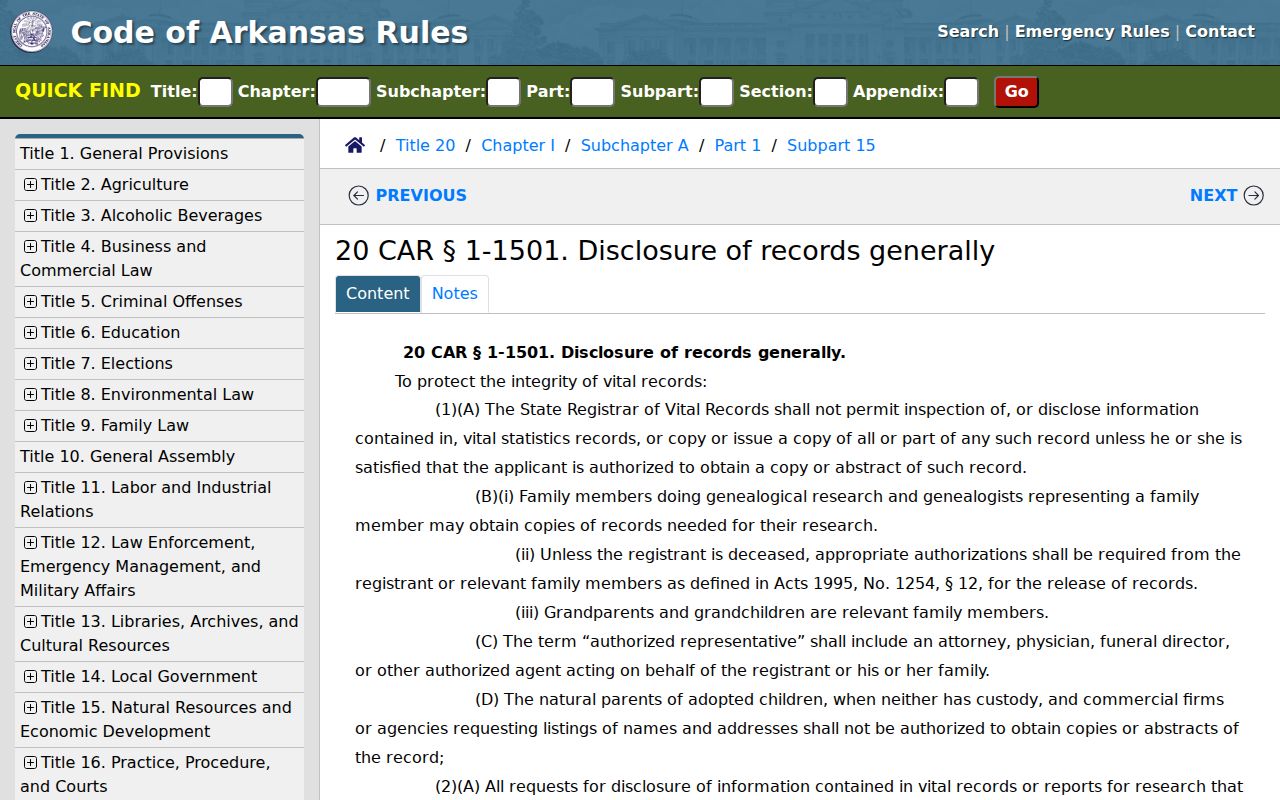
The screenshot shows the state rule source, not a ZIP search tool. It belongs in the workflow because knowing a Paragould ZIP does not override a record’s eligibility limits. The same principle applies to sealed court files, protected voter addresses, and confidential program records.
Before Paragould ZIP Geography
Historic Paragould records predate modern ZIP geography. The city grew from a railroad and downtown grid into later residential and commercial corridors. Its Sanborn map sequence runs through eight cited editions from 1892 to 1930. Those sheets should be searched by index, street, cross street, and building footprint, not by 72450.
An early address may not appear in a later form. Roads can be extended, annexed, or renumbered, and a rural tract can predate its current Paragould mailing address. The legal description and parcel are the bridge between eras. No complete official renumbering chronology was found, so any mismatch should be flagged rather than assigned an invented date.
Directories, tax books, deeds, maps, and open census schedules answer the older question. USPS settles current delivery. The ZIP code directory is most reliable when it keeps those eras apart.
Note: Search a historic Paragould address by street, cross street, and legal description rather than forcing a modern ZIP onto it.
Resolve Paragould ZIP Conflicts
When two systems disagree, return to the custodian that owns the field. USPS resolves delivery and ZIP+4. The Greene County Assessor resolves the parcel’s situs and current tax record. The Circuit Clerk handles recorded legal instruments. Election officials control voter records, while Paragould Planning addresses municipal files and city jurisdiction.
A disputed or new street address may also involve local GIS and emergency-service coordination. No official Paragould addressing manual was located. Give staff the full address, parcel number when known, and the exact issue. Ask for an existing map, record, or assignment rather than a new research report.