
Paragould Previous-Resident Sources
Every era leaves a different kind of trace. Greene County deeds can establish a legal ownership chain, while a directory or census may show people who occupied the place. Sanborn maps test the building and number. Probate, obituary, and cemetery evidence can explain why a name disappears. The strongest Paragould previous-residents history uses at least two sources and keeps ownership separate from occupancy.
| Source | Verified local span | Where held | What it shows |
|---|---|---|---|
| Recorded deeds | County formation forward in books; online cutoff unpublished | Greene County Circuit Clerk | Legal ownership chain |
| City directories | 1908, 1916/17, 1920, 1939, 1948 | Library, GCHGS, and digital sources | Named adults, spouse clues, work, and address |
| Federal census | Public schedules through 1950; 1890 destroyed | NARA and library databases | Household members and tenure |
| Sanborn maps | 1892, 1894, 1897, 1903, 1909, 1914, 1923, 1930 | Library of Congress and library | Footprint, number, and historic use |
| Probate abstracts | July 1876 through July 1898 publication, plus court files | GCHGS and County Clerk | Heirs and estate property |
| Permits | Official start not located | City request | Construction and change chronology |
| Obituary and cemetery sources | Newspaper-dependent; Linwood burials from at least 1869 | Library, cemetery, and newspaper sources | Death and family endpoints |
Start with the present parcel for any address that still exists. For a known person in a known decade, start with the closest verified directory or open census, then work back to the land. No official current local shelf list for reverse directories or obituary indexes was published, so call the library before relying on a title.
Anchor Paragould Past Residents
The modern parcel is the bridge into old records. Search the exact situs through the Greene County Assessor. Save the parcel number, owner, owner mailing address, situs, and full legal description. A legal description identifies the land through subdivision, lot and block, or metes and bounds. It can survive a street rename, extension, annexation, or number change that breaks a plain address search.
Do not decode a Greene County parcel number by guess. The county has not published a syntax key. Copy it exactly. Then inspect the free real-estate map, click the parcel polygon, and check adjacent streets and lot shapes. A map label is not a deed, but the geometry can keep the researcher on the right parcel when the postal address shifts.
Note: A mailing address that matches the situs supports owner occupancy, but neither a match nor a mismatch proves who lived there.
Trace Paragould Past Owners
The Greene County Circuit Clerk is both the Circuit Court clerk and ex-officio land recorder. That role makes the office the main deed custodian for a Paragould previous-residents project. Begin with today's assessed owner and acquisition deed. Search parties and the legal description, not just the current street address. The deed should supply the recording date, document or book-and-page reference, grantor, grantee, and land description.
- Normalize the current situs in the assessor record and save its parcel number and legal description.
- Find the present owner's purchase deed by searching that owner as grantee near the likely transfer date.
- Copy the seller, or grantor, and confirm the same legal description before moving back.
- Search that seller as a grantee in earlier years. Repeat the comparison for each valid transfer.
- When the online index ends, ask for grantor and grantee books, deed books, plats, and public-terminal options.
- Grantor
- The party who gives or transfers an interest in a recorded instrument.
- Grantee
- The party who receives the interest.
- Chain of title
- The linked series of transfers for the same land.
- Legal description
- The formal land description used in deeds, which is more stable than a postal address.
When Paragould Address Search Stops
Greene County links its land-record route to TitleSearcher, but the county does not state the first indexed year, full document menu, image fee, result cap, or export behavior. An empty search cannot prove that an earlier deed is missing. Call the Circuit Clerk at 870-239-6330 and provide the names, approximate recording date, legal description, document number, or book and page already collected.
The courthouse at 320 West Court Street publishes general weekday hours of 8:00 a.m. to 4:30 p.m. Land recording closes at 4:00 p.m., which is a useful limit for an in-person visit. Ask whether older grantor and grantee books are available at a public terminal or only through staff. A written copy request is another channel when travel is not practical.
Greene County records began before Paragould became the county seat. The county was formed in 1833, and the record safe moved from Gainesville to Paragould under armed guard in 1884. Search the county series rather than assuming all old books began under the city's name.
Match Paragould Past Households
Deeds name owners, not every person who lived in a home. Paragould directories can place a named adult, spouse clue, occupation, employer, address, and phone in a compiler's snapshot. Census schedules can add household members and tenure. Verified directory anchors are 1908, 1916 or 1917, 1920, 1939, and 1948. They are not an annual run, and a missing entry may mean a move, death, omission, changed spelling, or publication gap.
Pair sources in a fixed order:
- Copy the directory entry exactly, including initials, spouse notation, occupation, and address.
- Compare the 1920 directory with the 1920 census, the 1939 directory with the 1940 census, and the 1948 volume with the 1950 census.
- Check the street section if that volume has one, then compare nearby numbers and cross streets.
- Move to the next verified directory on either side and note every spelling or initial change.
- Use an obituary, probate file, or cemetery record when a person vanishes from the address trail.
The collections and their compressed entry codes are treated in depth on the Paragould city directory page. Here, they serve the single-address timeline.
Map Paragould Past Addresses
Paragould has an unusually dense verified Sanborn sequence: eight editions from 1892 through 1930. The maps show street names and numbers, footprints, construction, uses, and outbuildings. They do not identify every household. Compare the sheet index, cross streets, parcel shape, and building footprint before deciding that an old map address is the same present property.
The 1909 Library of Congress set contains thirteen downloadable sheets. Sheet counts grew as the city expanded, so the same road can appear on another sheet in a later edition. A building absent from one map but present in the next supplies a date range for physical change. A directory occupant during that range can then be tested against census, deed, and newspaper evidence.
The destroyed 1890 federal population schedules leave a real gap. Sanborn maps, deeds, tax books, and the 1902 credit directory can bridge pieces of it, but none is an exact replacement for that census.
Bridge Old Paragould Street Numbers
A present street address is often the least stable historical key. A road may be renamed, extended, annexed, or renumbered. No authoritative, complete Paragould renumbering chronology was found, so a mismatch should be flagged rather than assigned an invented year. Keep the legal description and parcel at the center of the comparison.
Historic Paragould grew from a railroad and downtown grid into later residential corridors and rural-edge development. A modern 72450 address may lie beyond incorporated Paragould or may have been rural land when an early directory was compiled. The 72451 code is for post office boxes and cannot locate a home. Postal identity, city jurisdiction, and county custody answer different questions.
For each era, write a short evidence chain: modern parcel to legal description, legal description to deed, deed period to Sanborn sheet, and historic street line to directory or census. This keeps a similar number on another road from entering the previous-residents timeline.
Find Paragould Heirs and Endpoints
Death and estate records can close a broken household trail. The Greene County Historical & Genealogical Society publishes an indexed probate compilation covering July 1876 through July 1898. Its resources also include probate settlements and a coroner-inquisition index for 1951 through 1978. These are finding aids, not substitutes for the underlying court file or death record.
The Greene County Clerk handles probate filings and can route live county questions. The captured County Clerk records page is the assigned official image for this Paragould previous-residents trail.
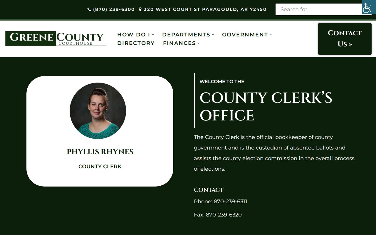
The office image marks the county access point, while the actual probate file and indexed publication must be cited on their own terms. An heir named in probate can connect a deceased owner or occupant to later family evidence.
Local newspapers may add an obituary, wedding notice, legal notice, or sale report. Publication names changed, so search several titles and a broad date window. Linwood Cemetery's known burial history reaches at least 1869 and can anchor families from before Paragould's 1883 incorporation.
Limits on Paragould Previous Residents
A deed chain is an owner history. It is not a complete occupant list. A directory captures the compiler's moment and often favors named adults. A census may be more complete for a household, but spelling, address, and enumeration errors still occur. Sanborn maps describe structures. Permits identify applicants and work. None of these alone proves the full set of previous residents at a Paragould address.
Use two independent points where possible. A directory name plus a census household is stronger than either alone. A deed plus a matching legal description confirms ownership better than a street-number match. Record gaps should remain visible, especially the destroyed 1890 census and the unpublished land-index cutoff.
Lawful use. Research Paragould previous residents for family history, heirs, building history, or personal curiosity. Never use the trail to stalk, harass, threaten, or expose a living person.